
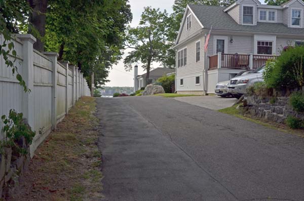
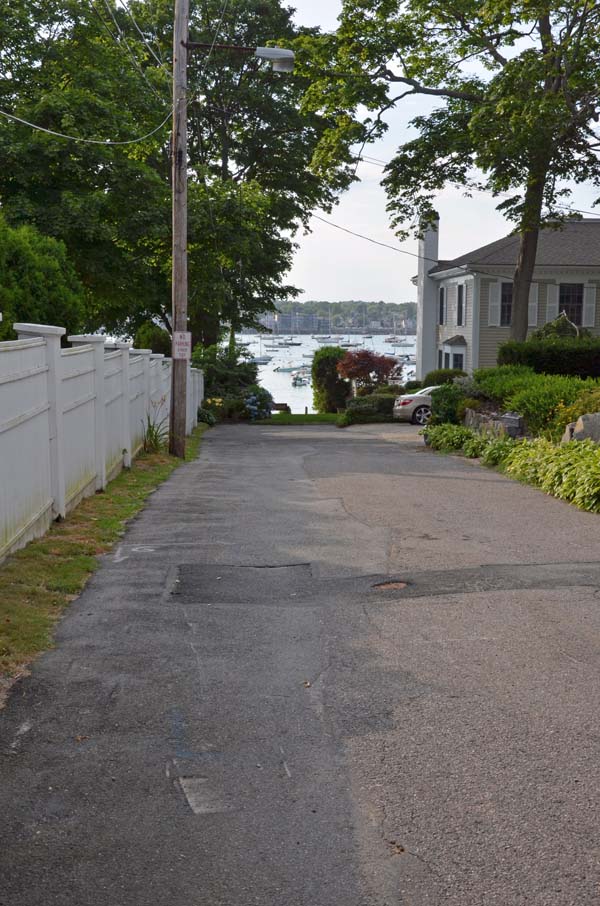
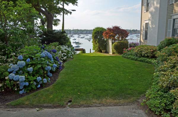
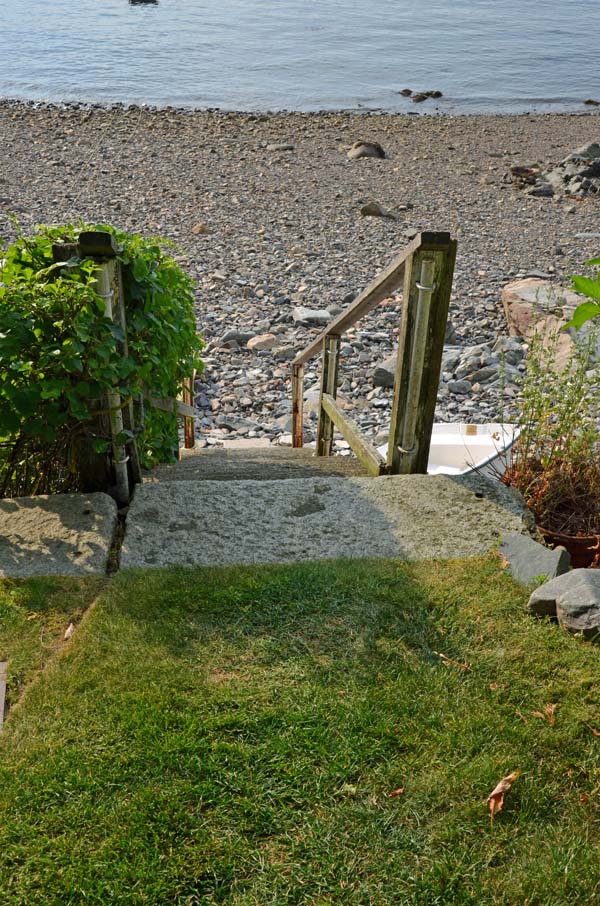
This 20-foot-wide public way extends from Harbor Avenue, across a lawn (still a public way) to steps leading down to a rocky beach and low water.
Marblehead’s Ways Open for Public Passage
From wherever they lived and worked on land, early residents of Marblehead walked the most direct paths to the harbor and ocean that were their livelihood. While many of these historical pathways have disappeared over the years, many are still open for public use both in downtown Marblehead and on Marblehead Neck.
Although it sometimes feels as if you are walking through someone’s back yard, follow these maps and directions and you’ll stay on public rights of way. Each marker on the overview map below shows where a passageways is located. For details, click on the markers in the overview maps or on the numbered lists below the overview map.
Each passageway is shown on its own map, and a marker shows the location of each path. When visiting these sites, please be respectful of the neighbors and park only on the main streets.
Passageways in Downtown Marblehead
Lookout Court & Prospect Alley
Hollyhock Lane
Alley Steps
Gingerbread Lane
Gingerbread Hill
Knights Hill Road
Alley – Elm to High
Alley – Market Square
Passageways on Marblehead Neck