Point O’ Rocks Lane

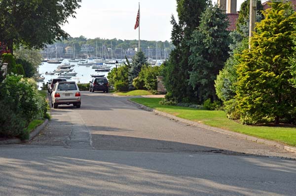
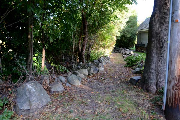
This 25 foot wide lane leads from Follett Street to a strip of lawn which is private property.


Point-o-Rocks Lane entrance
1. Point-o-Rocks Lane entrance


Peabody Avenue

This 20-foot-wide public way extends from Harbor Avenue, across a lawn (still a public way) to steps leading down to a rocky beach and low water.


Peabody Lane entrance
1. Peabody Avenue entrance
Mid-way down Peabody Lane
2. Mid-way down Peabody Avenue
Grass at the end of the paved lane
3. Grass at the end of the paved road
Steps to the beach
4. Steps to the beach


Parker Lane

This public way off Foster Street begins with a paved section and then continues over a grassy area to wooden steps leading down to a pebble beach. A bench at the top of the steps provides a pleasant view of the harbor with the town in the background.


Parker Lane entrance
1. Parker Lane entrance
Path to beach
2. Path to beach


Nahant Street

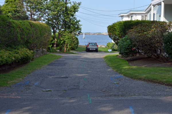
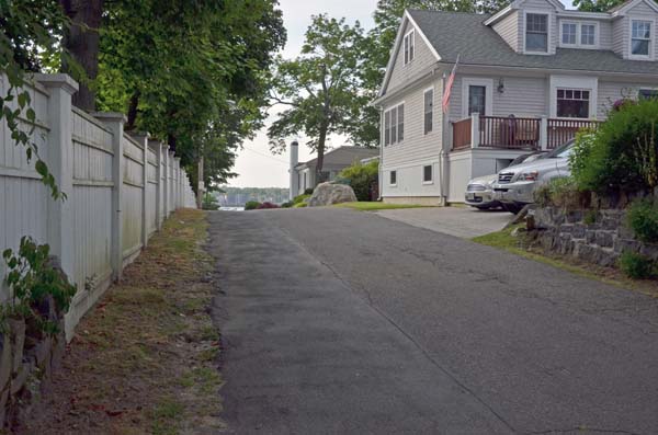
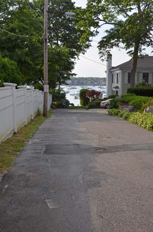
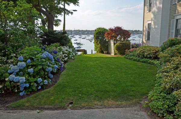
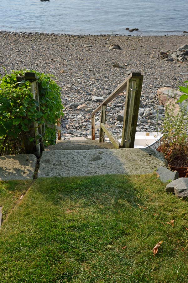
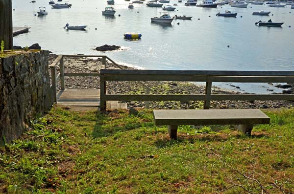
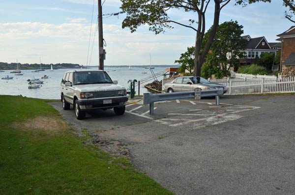
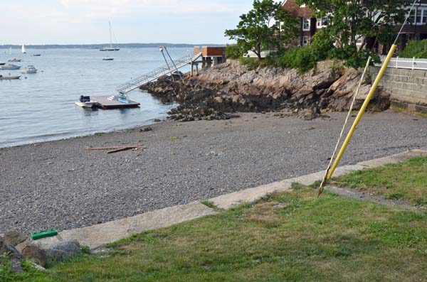
This 40-foot wide, 50-foot long right-of-way extending to the low water mark, located next to the Corinthian Yacht Club, has no street sign. The paved way ends at a grass strip and stone wall, offering views of Marblehead Harbor and the mainland from Peach’s Point to Abbot Hall.


Nahant Street
1. Nahant Street
View from the stone wall
2. View from the stone wall


Lookout Court and Prospect Alley

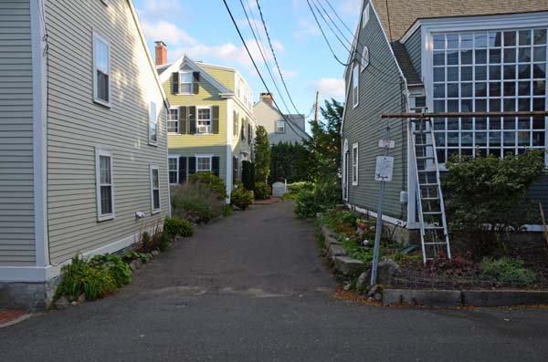
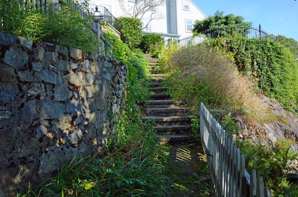
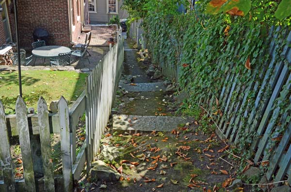
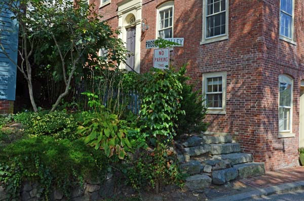
Lookout Court, though appearing as a street, is open for foot traffic only. Located in Marblehead’s Historic District near Abbot Hall, this public way narrows to stone steps and a small path between houses that is known as Prospect Alley. The vista offers magnificent views of the town and Marblehead Harbor.


Entrance to Lookout Court
1. Entrance to Lookout Court
Half way down Lookout Court which empties into Prospect Alley
2. Half way down Lookout Court which empties into Prospect Alley
Stairs at the top of Prospect Alley looking up hill
3. Stairs at the top of Prospect Alley looking uphill
Turn on Prospect Alley looking down hill
4. Turn on Prospect Alley looking downhill
Entrance to Prospect Alley from Lee Street
5. Entrance to Prospect Alley from Lee Street


Lighthouse Lane

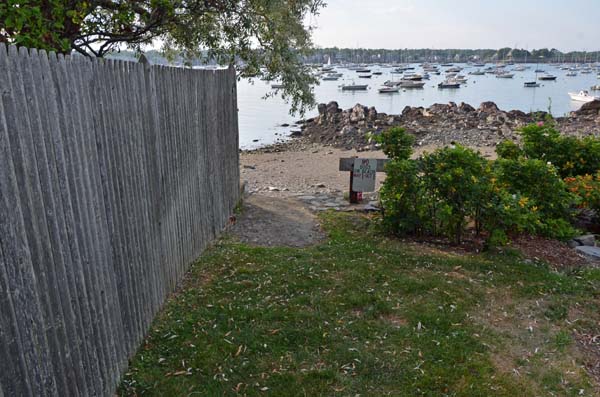
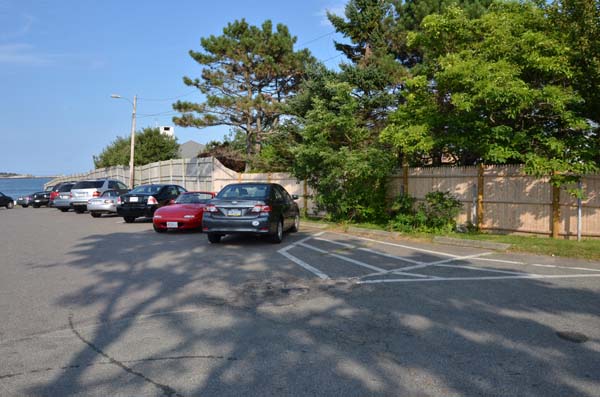
Beginning at Follet Street, this lane runs adjacent to a stockade fence at the eastern edge of the parking lot for Chandler Hovey Park and continues over the grass down to the water. The park, with the iconic Marblehead Light Tower, is a perfect location from which to watch boats sailing in and out of the harbor.


Lighthouse Lane parking lot for Chandler Hovey Park
1. Lighthouse Lane parking lot for Chandler Hovey Park


Knight’s Hill Road

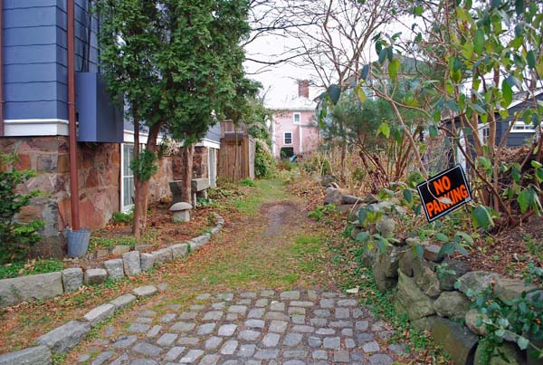
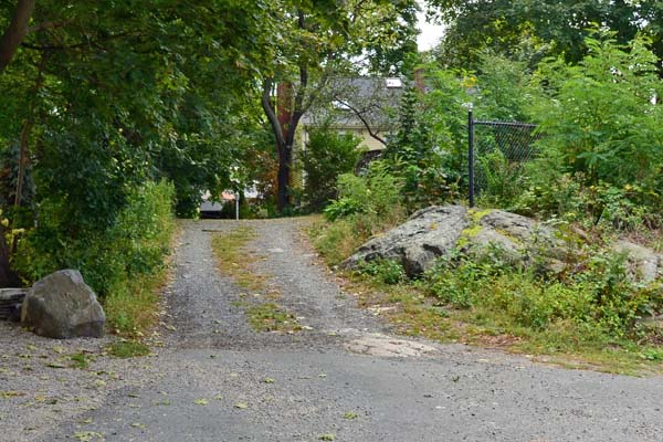
While beginning as a paved street off Pond Street, Knight’s Hill Road quickly turns into a narrow dirt and gravel path leading down a steep hill between houses. The path exits at the corner of Dunn’s Lane and Elm Street, directly across from the Elm Street Alley.  (See below.) Together, Knights Hill Road and Elm Street Alley  offer a short cut from Redd’s Pond to Washington Street.


Knight's Hill Road paved section near Redds Pond
1. Knight’s Hill Road paved section near Redds Pond
Half way down the path
2. Half way down the path
Knight's Hill Road path from Dunn's Lane
3. Knight’s Hill Road path from Dunn’s Lane


Hollyhock Lane

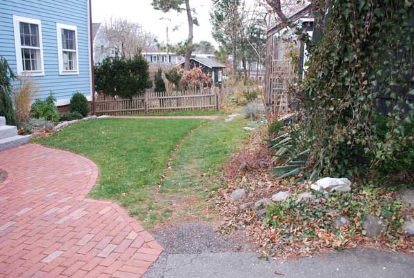
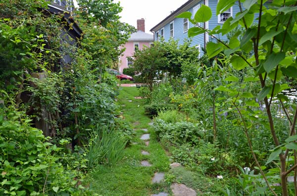
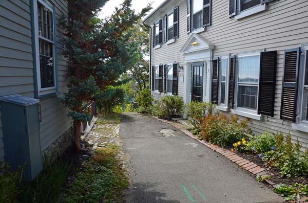
Hollyhock Lane begins as a narrow flagstone path located close to a house and becomes a grassy lane ending in a driveway on Merritt Street. This short public way is accessible from a small private  parking lot off Circle Street, near #116 Front Street.


3_hollyhock_lane_1b
1. Hollyhock Lane entrance from Circle Street-stay on the grass walk between the brick walkway and the house.


Flagstone path
2. Flagstone path
Hollyhock Lane entrance from Merritt Street
3. Hollyhock Lane entrance from Merritt Street


Harvard Street

Harvard Street is a 40-foot wide public way located off Harbor Avenue and leading to the low water mark. The street ends at a set of stone steps to a pebble beach with a view of the mainland across the harbor.


Harvard Street entrance
1. Harvard Street entrance
Path to the beach
2. Path to the beach


Gingerbread Hill

Gingerbread Hill
At the end of Gingerbread Lane, continue across Norman Street to Gingerbread Hill.


Entrance to Gingerbread Hill from Norman Street
1. Entrance to Gingerbread Hill from Norman Street
Entrance to the path down the hill
2. Entrance to the path down the hill
Half way down the path
3. Half way down the path
Looking up at the path from Norman Street
4. Looking up at the path from Norman Street