
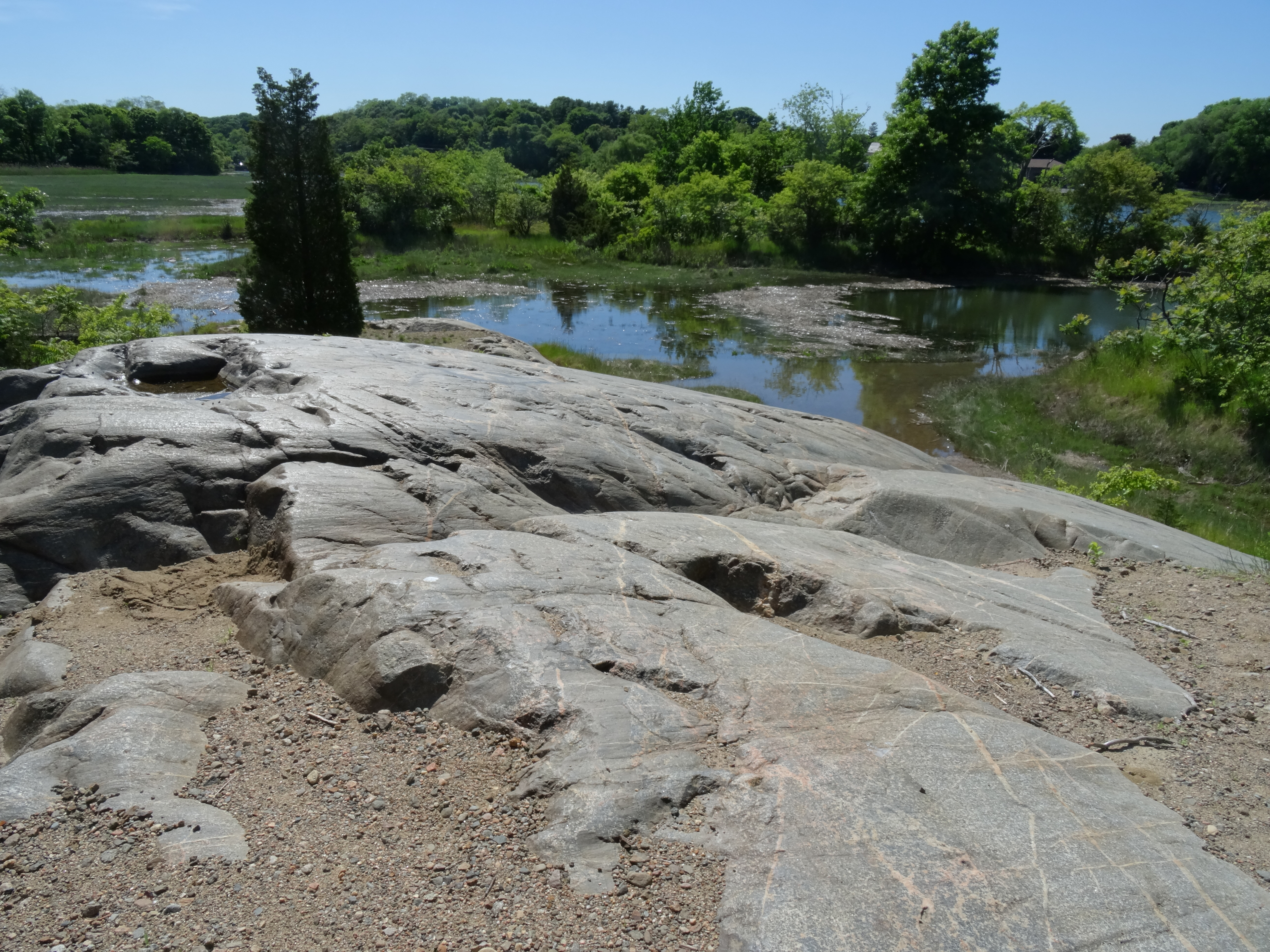
 Enjoy an easy-moderate hike on the trails in Marblehead’s Forest River conservation area. This 26-acre property includes the salt Massabeguash Marsh, tidal ponds as well as upland fields and woods. Part of the area was once a gravel pit, with the gravel reportedly used in the building of Logan Airport.
At just over 1.5 miles of trails covering the entire area, a hiker enjoys waterside, woodlands, and high ground. Some of the area near the river floods at high tide, making it a good idea to check local tide tables to be sure you are properly shod for your walk.
Forest River at a Glance
| Area: | 26 acres |
| Trails: | 1.53 miles |
| Where: | The entrance on Old Salem Road has limited parking. Two entrances on Layfayette street require parking across Lafayette on one of the side streets (e.g. Carna Road). An entrance on Leggs Hill Road requires parking on one of the side streets. |
| Trail Map: | There is a map box at the down hill entrance across from St. Andrew's Church You can also open this PDF to use it from your smart phone or to print your own copy:  |
| Location: |