
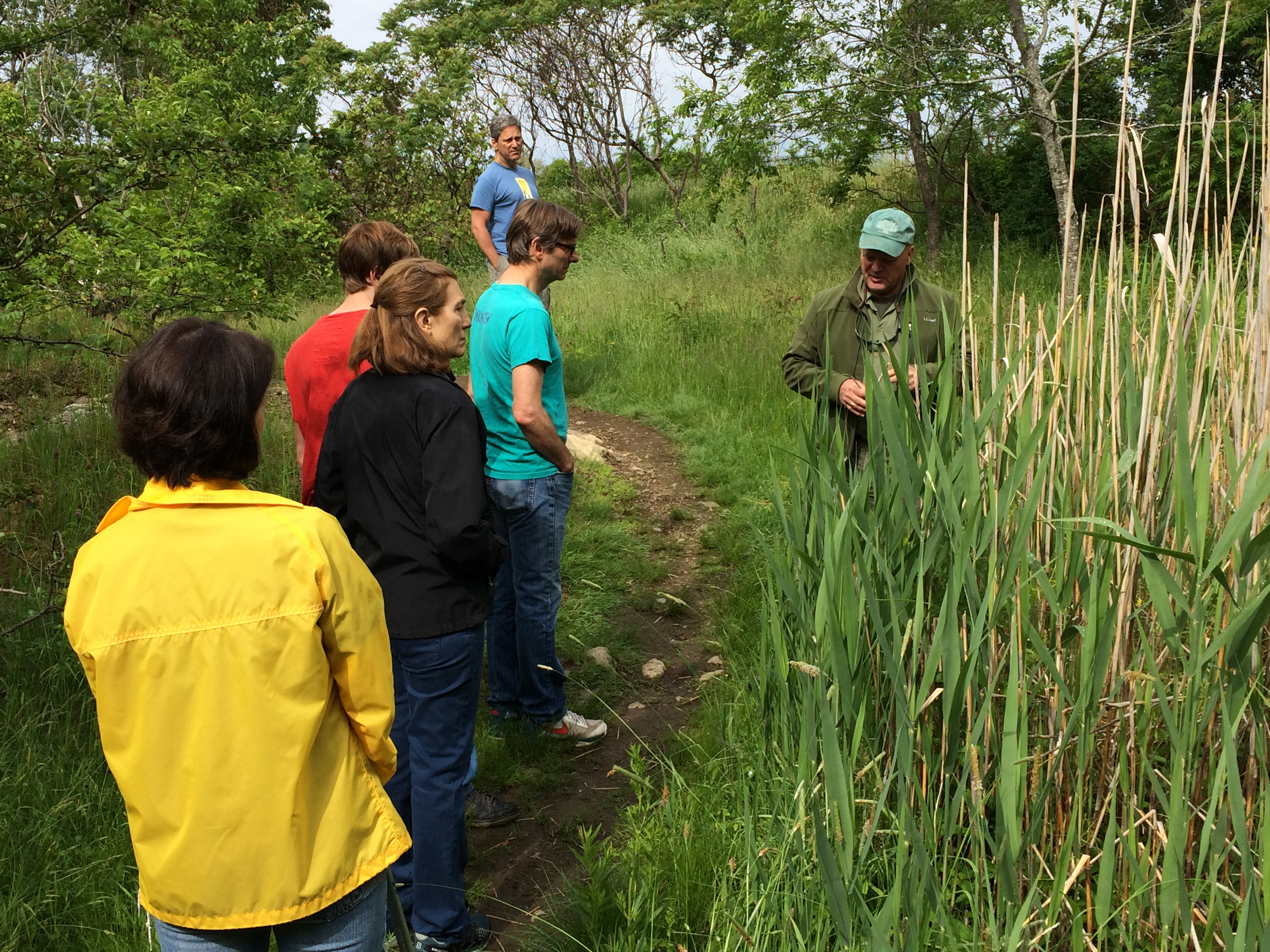
 One of the last commercial farms in Marblehead to end its operations, its remaining three acres were sold to Marblehead as conservation land in 2005. A neighboring eight and one-half acre plot, formerly part of the much larger Jermyn Farm, were then under the management of Marblehead’s School Committee. Recognizing the value of this open space to the nearby Village School and the larger community, the School Committee and Conservation Commission agreed to allow development of a combined looping trails system through the two parcels. Today, the Village School uses the area for environmental education and development while the three-quarter miles of trails serve as a pleasant community pathway. Access is available from the cul de sac at the end of Byors Road, the old farm entrance from Ramsdell Road, and the southeastern edge of the Village School playing field.
Robinson Farm at a Glance
| Area: | 11.5 acres |
| Trails: | 0.16 miles |
| Where: | Entrance with limited parking on the cul de sac at the end of Byors Road. On street parking is available near the old farm entrance from Ramsdell Road. Hike in access from the southeastern edge of the Village School playing field. |
| Trail Map: | A map box is located at the Ramsdell Road entrance. You can also open this PDF to view it from your smart phone or to print your own copy: 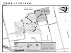 |
| Location: |