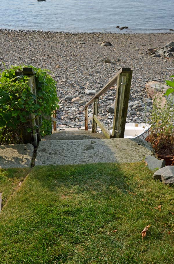
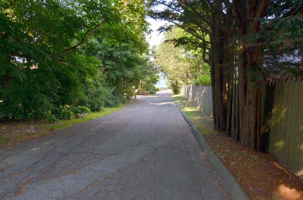
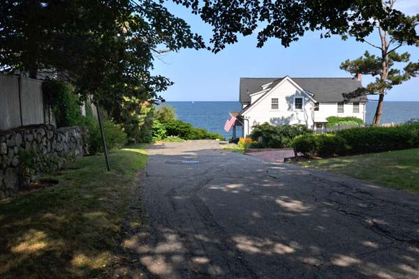
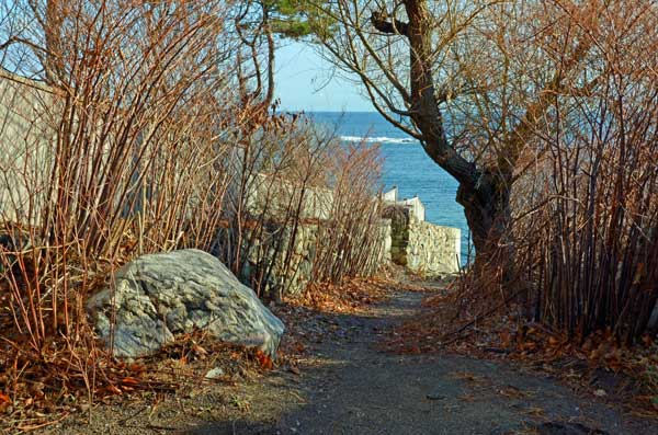
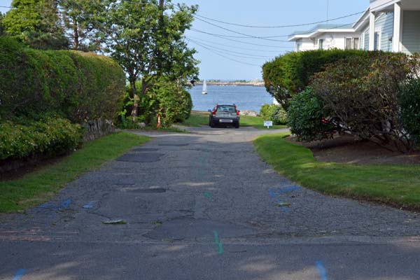
This 25 foot wide lane leads from Follett Street to a strip of lawn which is private property.
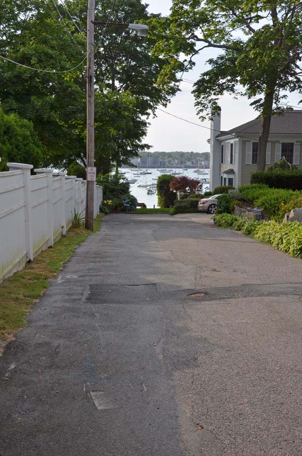
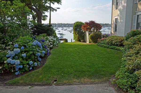
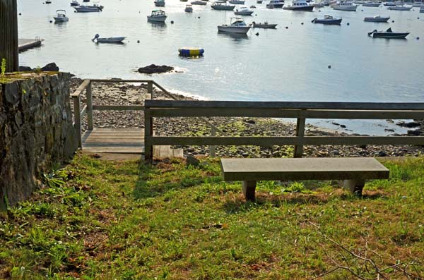
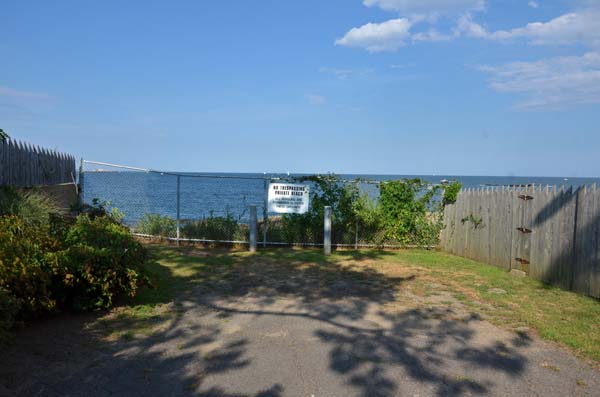
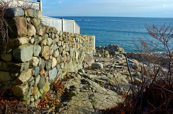
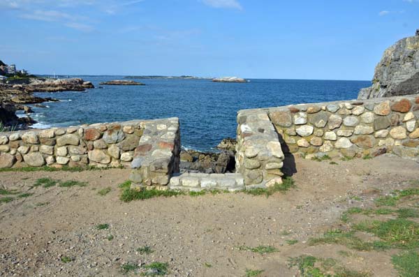
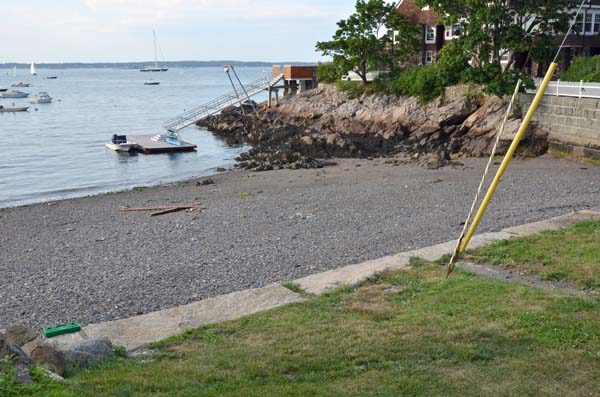
This 40-foot wide, 50-foot long right-of-way extending to the low water mark, located next to the Corinthian Yacht Club, has no street sign. The paved way ends at a grass strip and stone wall, offering views of Marblehead Harbor and the mainland from Peach’s Point to Abbot Hall.
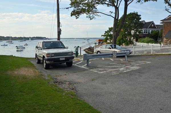
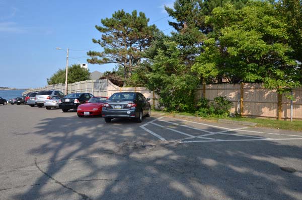
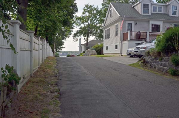
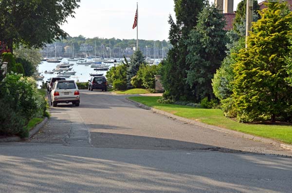
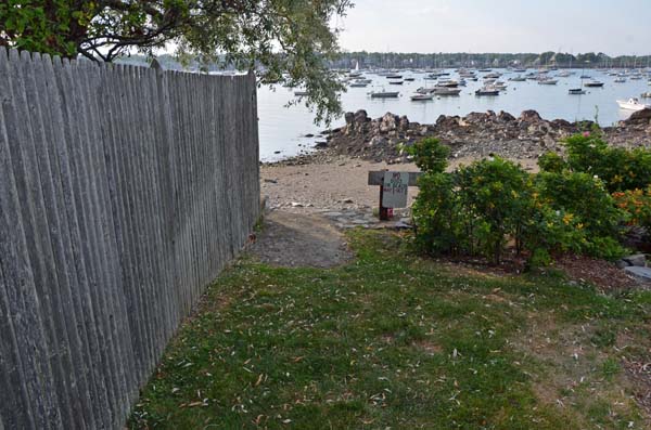
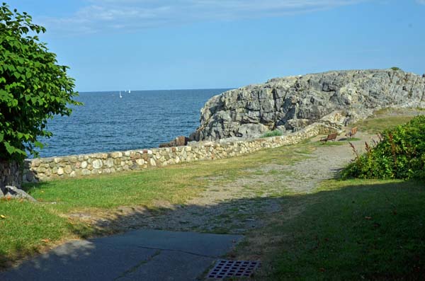
Beginning at Follet Street, this lane runs adjacent to a stockade fence at the eastern edge of the parking lot for Chandler Hovey Park and continues over the grass down to the water. The park, with the iconic Marblehead Light Tower, is a perfect location from which to watch boats sailing in and out of the harbor.